Entrance to Gelligaer Cemetery
Introduction
The photograph on this page of Entrance to Gelligaer Cemetery by Jaggery as part of the Geograph project.
The Geograph project started in 2005 with the aim of publishing, organising and preserving representative images for every square kilometre of Great Britain, Ireland and the Isle of Man.

There are currently over 7.5m images from over 14,400 individuals and you can help contribute to the project by visiting https://www.geograph.org.uk
Entrance to Gelligaer Cemetery
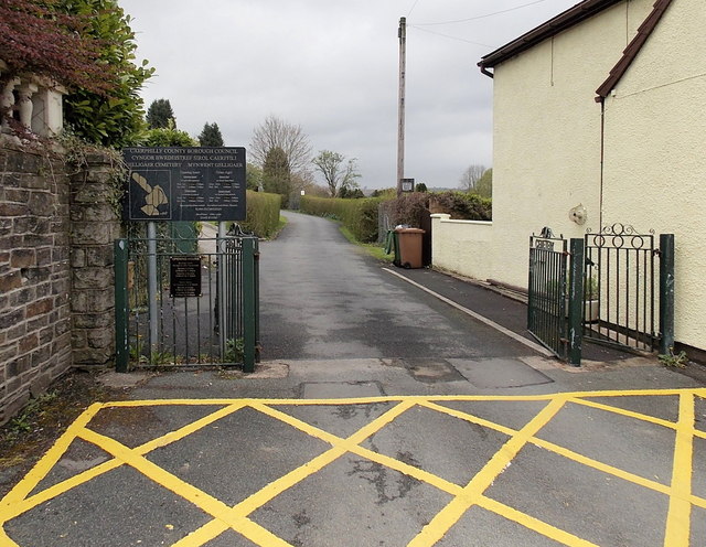
Image: © Jaggery Taken: 10 May 2013
Viewed from Castle Hill. One of 10 cemeteries managed by Caerphilly County Borough Council, Gelligaer cemetery has been in use since 1935.
Images are licensed for reuse under creativecommons.org/licenses/by-sa/2.0
Image Location
Latitude
51.665024
Longitude
-3.25034