Clearing in the reedbed
Introduction
The photograph on this page of Clearing in the reedbed by William Starkey as part of the Geograph project.
The Geograph project started in 2005 with the aim of publishing, organising and preserving representative images for every square kilometre of Great Britain, Ireland and the Isle of Man.

There are currently over 7.5m images from over 14,400 individuals and you can help contribute to the project by visiting https://www.geograph.org.uk
Clearing in the reedbed
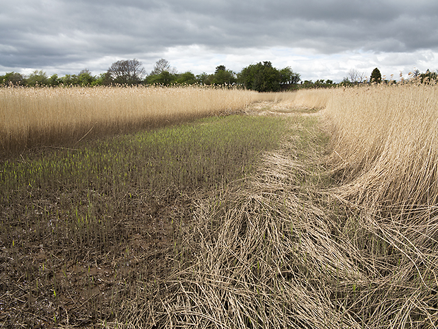
Image: © William Starkey Taken: 11 May 2013
A cleared area in the reedbed growing on the north bank of the River Tay near Seaside. The clearing is presumably man-made, since its outline is linear. Access to this grid square is truly purgatorial, with marshy ground, thorny undergrowth, mud, and three-metre high reeds impeding progress - the latter are razor sharp when broken - and penetrate human skin with ease. The most unpleasant walking of any grid square I have visited on behalf of Geograph.
Images are licensed for reuse under creativecommons.org/licenses/by-sa/2.0
Image Location
Latitude
56.402473
Longitude
-3.167703