Hythe Path, Thornton Heath
Introduction
The photograph on this page of Hythe Path, Thornton Heath by Christopher Hilton as part of the Geograph project.
The Geograph project started in 2005 with the aim of publishing, organising and preserving representative images for every square kilometre of Great Britain, Ireland and the Isle of Man.

There are currently over 7.5m images from over 14,400 individuals and you can help contribute to the project by visiting https://www.geograph.org.uk
Hythe Path, Thornton Heath
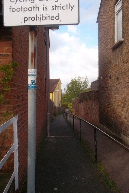
Image: © Christopher Hilton Taken: 9 May 2013
A narrow path linking Hythe Road to Buller Road. At this point on the climb from Thornton Heath up to the Norwood Heights, roads often contour along the slope at different levels, and public footpaths like this provide the only way to cut across the grain of the street pattern and drop downwards more directly.
Images are licensed for reuse under creativecommons.org/licenses/by-sa/2.0
Image Location
Latitude
51.403588
Longitude
-0.092055