Kingsbog Signal Box
Introduction
The photograph on this page of Kingsbog Signal Box by Wilson Adams as part of the Geograph project.
The Geograph project started in 2005 with the aim of publishing, organising and preserving representative images for every square kilometre of Great Britain, Ireland and the Isle of Man.

There are currently over 7.5m images from over 14,400 individuals and you can help contribute to the project by visiting https://www.geograph.org.uk
Kingsbog Signal Box
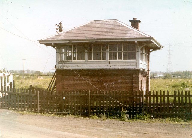
Image: © Wilson Adams Taken: Unknown
Kingsbog Signal Box now preserved at the headquarters of the Downpatrick & Co. Down Railway Society, Downpatrick
Images are licensed for reuse under creativecommons.org/licenses/by-sa/2.0
Image Location


Leaflet Map data © OpenStreetMap
Latitude
54.700882
Longitude
-5.991976