The Fifteen Acres
Introduction
The photograph on this page of The Fifteen Acres by Simon Carey as part of the Geograph project.
The Geograph project started in 2005 with the aim of publishing, organising and preserving representative images for every square kilometre of Great Britain, Ireland and the Isle of Man.

There are currently over 7.5m images from over 14,400 individuals and you can help contribute to the project by visiting https://www.geograph.org.uk
The Fifteen Acres
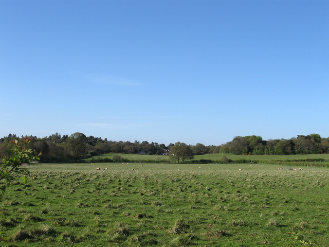
Image: © Simon Carey Taken: 6 May 2013
The name of the field according to Washington's 1839 tithe map viewed from Storrington Road, the A283. Beyond the hedge in the distance is Image with the houses of Image partially obscured by the tree.
Images are licensed for reuse under creativecommons.org/licenses/by-sa/2.0
Image Location
Latitude
50.912428
Longitude
-0.419905