Hampers Lane
Introduction
The photograph on this page of Hampers Lane by Simon Carey as part of the Geograph project.
The Geograph project started in 2005 with the aim of publishing, organising and preserving representative images for every square kilometre of Great Britain, Ireland and the Isle of Man.

There are currently over 7.5m images from over 14,400 individuals and you can help contribute to the project by visiting https://www.geograph.org.uk
Hampers Lane
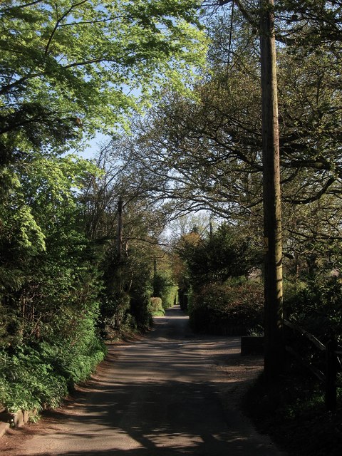
Image: © Simon Carey Taken: 6 May 2013
The lane links Storrington Road, the A283, with Rock Road, and for much of its course is the parish boundary between Washington on the left and Sullington to the right.
Images are licensed for reuse under creativecommons.org/licenses/by-sa/2.0
Image Location
Latitude
50.916883
Longitude
-0.423453