Station Approach and Brewery Square development
Introduction
The photograph on this page of Station Approach and Brewery Square development by John Stephen as part of the Geograph project.
The Geograph project started in 2005 with the aim of publishing, organising and preserving representative images for every square kilometre of Great Britain, Ireland and the Isle of Man.

There are currently over 7.5m images from over 14,400 individuals and you can help contribute to the project by visiting https://www.geograph.org.uk
Station Approach and Brewery Square development
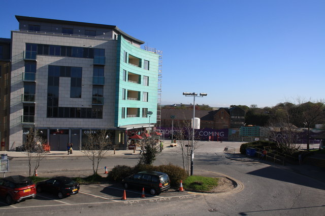
Image: © John Stephen Taken: 3 May 2013
View north from Dorchester South station footbridge showing the Brewery Square development. The short term parking for the station can be seen in the foreground whilst the commercial properties and flats of the redevelopment stretch left from centre along the north side of Station Approach. Behind the new building is the centre of the Brewery Square development incorporating what's left of the old brewery.
Images are licensed for reuse under creativecommons.org/licenses/by-sa/2.0
Image Location


Leaflet Map data © OpenStreetMap
Latitude
50.709441
Longitude
-2.437853