Bus shelter at Siadar
Introduction
The photograph on this page of Bus shelter at Siadar by John Lucas as part of the Geograph project.
The Geograph project started in 2005 with the aim of publishing, organising and preserving representative images for every square kilometre of Great Britain, Ireland and the Isle of Man.

There are currently over 7.5m images from over 14,400 individuals and you can help contribute to the project by visiting https://www.geograph.org.uk
Bus shelter at Siadar
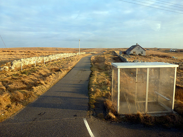
Image: © John Lucas Taken: 12 Feb 2013
The road leads to ... nowhere really, but it does become a track which leads to Loch Marabhat.
Images are licensed for reuse under creativecommons.org/licenses/by-sa/2.0
Image Location
Latitude
58.399596
Longitude
-6.469025