A2100 near Battle
Introduction
The photograph on this page of A2100 near Battle by Peregrine as part of the Geograph project.
The Geograph project started in 2005 with the aim of publishing, organising and preserving representative images for every square kilometre of Great Britain, Ireland and the Isle of Man.

There are currently over 7.5m images from over 14,400 individuals and you can help contribute to the project by visiting https://www.geograph.org.uk
A2100 near Battle
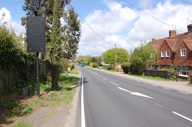
Image: © Peregrine Taken: 11 May 2013
There is a doppler controlled speed sign for 40 mph.
Images are licensed for reuse under creativecommons.org/licenses/by-sa/2.0
Image Location
Latitude
50.90428
Longitude
0.511879