Aneurin Bevan Avenue houses, Gelligaer
Introduction
The photograph on this page of Aneurin Bevan Avenue houses, Gelligaer by Jaggery as part of the Geograph project.
The Geograph project started in 2005 with the aim of publishing, organising and preserving representative images for every square kilometre of Great Britain, Ireland and the Isle of Man.

There are currently over 7.5m images from over 14,400 individuals and you can help contribute to the project by visiting https://www.geograph.org.uk
Aneurin Bevan Avenue houses, Gelligaer
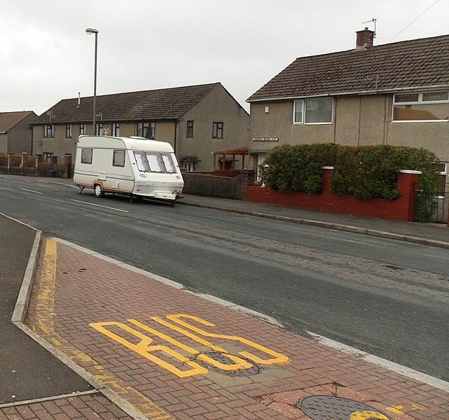
Image: © Jaggery Taken: 10 May 2013
When a name sign disagrees with the name shown on a map, it is often difficult to determine which is correct. On this occasion there was no problem. The street name sign on the house on the right of the caravan shows ANEURN BEVAN AVE.
Images are licensed for reuse under creativecommons.org/licenses/by-sa/2.0
Image Location
Latitude
51.661747
Longitude
-3.254154