Pengam ACF hut near Gelligaer
Introduction
The photograph on this page of Pengam ACF hut near Gelligaer by Jaggery as part of the Geograph project.
The Geograph project started in 2005 with the aim of publishing, organising and preserving representative images for every square kilometre of Great Britain, Ireland and the Isle of Man.

There are currently over 7.5m images from over 14,400 individuals and you can help contribute to the project by visiting https://www.geograph.org.uk
Pengam ACF hut near Gelligaer
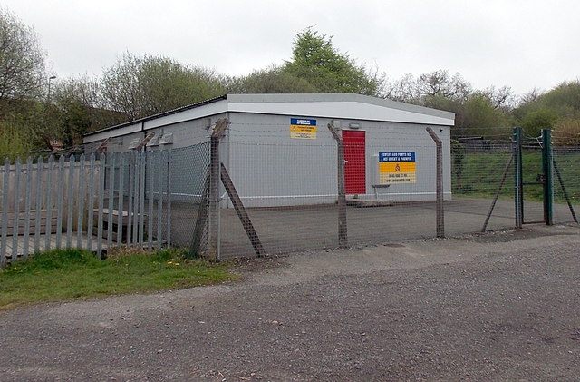
Image: © Jaggery Taken: 10 May 2013
Located in a locked compound at the edge of a recreation ground alongside the B4254 between Penpedairheol and Gelligaer. ACF is the acronym for Army Cadet Force.
Images are licensed for reuse under creativecommons.org/licenses/by-sa/2.0
Image Location
Latitude
51.66713
Longitude
-3.246783