Glyn-Gaer Road, Glyn-Gaer
Introduction
The photograph on this page of Glyn-Gaer Road, Glyn-Gaer by Jaggery as part of the Geograph project.
The Geograph project started in 2005 with the aim of publishing, organising and preserving representative images for every square kilometre of Great Britain, Ireland and the Isle of Man.

There are currently over 7.5m images from over 14,400 individuals and you can help contribute to the project by visiting https://www.geograph.org.uk
Glyn-Gaer Road, Glyn-Gaer
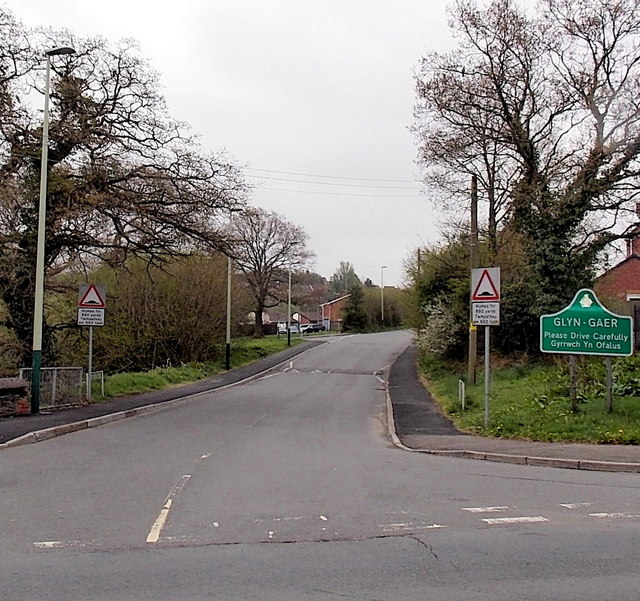
Image: © Jaggery Taken: 10 May 2013
Viewed across the B4254. The Glyn-Gaer boundary sign is a few metres from this sign http://www.geograph.org.uk/photo/3453776 at the SW boundary of Penpedairheol. Both villages are part of Caerphilly County Borough.
Images are licensed for reuse under creativecommons.org/licenses/by-sa/2.0
Image Location
Latitude
51.666789
Longitude
-3.245039