Worthington: the post office
Introduction
The photograph on this page of Worthington: the post office by Chris Downer as part of the Geograph project.
The Geograph project started in 2005 with the aim of publishing, organising and preserving representative images for every square kilometre of Great Britain, Ireland and the Isle of Man.

There are currently over 7.5m images from over 14,400 individuals and you can help contribute to the project by visiting https://www.geograph.org.uk
Worthington: the post office
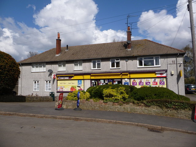
Image: © Chris Downer Taken: 26 Apr 2013
Looking across St. Matthew's Avenue, a road comprising mainly council estate-type housing. The village store and post office appears to have been converted from the lower two thirds of one semi-detached pair.
Images are licensed for reuse under creativecommons.org/licenses/by-sa/2.0
Image Location
Latitude
52.781629
Longitude
-1.397142