Homestead, Borenich
Introduction
The photograph on this page of Homestead, Borenich by Richard Webb as part of the Geograph project.
The Geograph project started in 2005 with the aim of publishing, organising and preserving representative images for every square kilometre of Great Britain, Ireland and the Isle of Man.

There are currently over 7.5m images from over 14,400 individuals and you can help contribute to the project by visiting https://www.geograph.org.uk
Homestead, Borenich
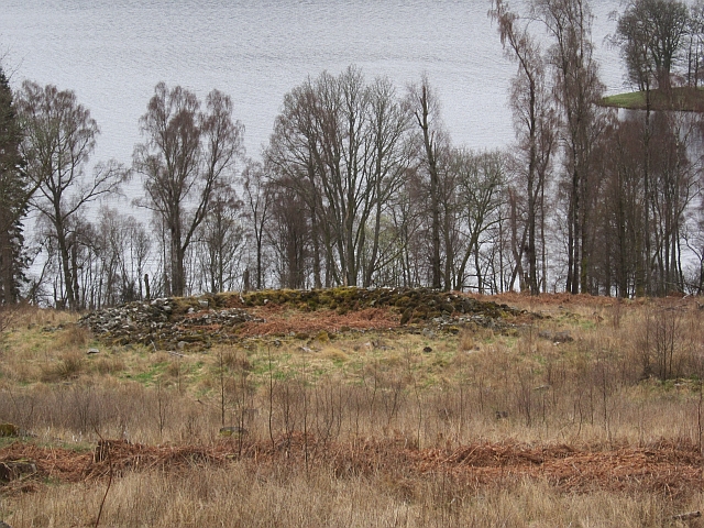
Image: © Richard Webb Taken: 4 May 2013
A circular wall which is a sort of lowrise broch, rather similar to Edin's Hall in Berwickshire but smaller. Image There would have been a roofed structure within the walls. The hills above Loch Tummel is home to several of these structures and some have been unearthed from the forestry by sympathetic felling. There is a particularly good one above the Allean Forest car park.
Images are licensed for reuse under creativecommons.org/licenses/by-sa/2.0
Image Location
Latitude
56.718152
Longitude
-3.888752