Housing on the north side of Friar Park
Introduction
The photograph on this page of Housing on the north side of Friar Park by Richard Law as part of the Geograph project.
The Geograph project started in 2005 with the aim of publishing, organising and preserving representative images for every square kilometre of Great Britain, Ireland and the Isle of Man.

There are currently over 7.5m images from over 14,400 individuals and you can help contribute to the project by visiting https://www.geograph.org.uk
Housing on the north side of Friar Park
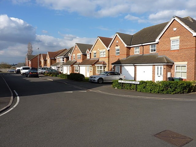
Image: © Richard Law Taken: 19 Apr 2013
A new housing development between the older Friar Park area and the M6 near the Bescot railfreight yard.
Images are licensed for reuse under creativecommons.org/licenses/by-sa/2.0
Image Location
Latitude
52.55482
Longitude
-1.98447