Stream from Fordfield Road
Introduction
The photograph on this page of Stream from Fordfield Road by Rob Farrow as part of the Geograph project.
The Geograph project started in 2005 with the aim of publishing, organising and preserving representative images for every square kilometre of Great Britain, Ireland and the Isle of Man.

There are currently over 7.5m images from over 14,400 individuals and you can help contribute to the project by visiting https://www.geograph.org.uk
Stream from Fordfield Road
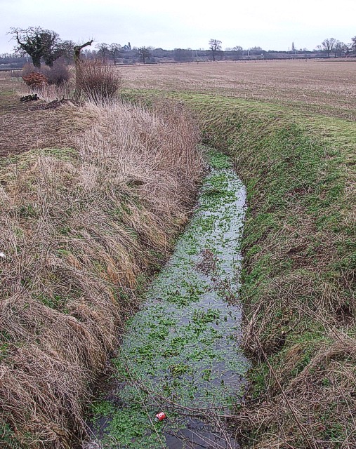
Image: © Rob Farrow Taken: 22 Feb 2007
According to the map, this stream, which is little more than a drainage ditch, issues from near to a reservoir which is a couple of hundred metres to the WSW from this point. It is flowing (very slowly) towards the viewer. It goes under Fordfield Road at this point, and can be seen on the other side of the road here Image]
Images are licensed for reuse under creativecommons.org/licenses/by-sa/2.0
Image Location
Latitude
52.016434
Longitude
-0.518582