Knockloughrim Windmill
Introduction
The photograph on this page of Knockloughrim Windmill by Linda Bailey as part of the Geograph project.
The Geograph project started in 2005 with the aim of publishing, organising and preserving representative images for every square kilometre of Great Britain, Ireland and the Isle of Man.

There are currently over 7.5m images from over 14,400 individuals and you can help contribute to the project by visiting https://www.geograph.org.uk
Knockloughrim Windmill
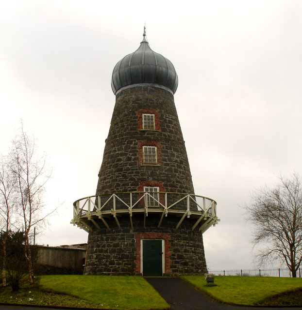
Image: © Linda Bailey Taken: 21 Feb 2007
Built between 1860 and 1875 by William Palmer, the sails were lost after a storm in the 1890's, and the onion top was put up instead. The land falls away behind the windmill.
Images are licensed for reuse under creativecommons.org/licenses/by-sa/2.0
Image Location


Leaflet Map data © OpenStreetMap
Latitude
54.81193
Longitude
-6.607136