Bridge to Stockholes Turbary
Introduction
The photograph on this page of Bridge to Stockholes Turbary by Chris as part of the Geograph project.
The Geograph project started in 2005 with the aim of publishing, organising and preserving representative images for every square kilometre of Great Britain, Ireland and the Isle of Man.

There are currently over 7.5m images from over 14,400 individuals and you can help contribute to the project by visiting https://www.geograph.org.uk
Bridge to Stockholes Turbary
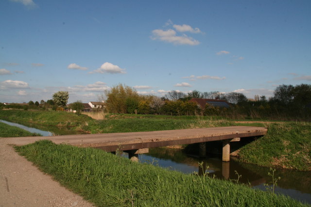
Image: © Chris Taken: 5 May 2013
From the track alongside the river, which is marked as "Torne Road" on the map.
Images are licensed for reuse under creativecommons.org/licenses/by-sa/2.0
Image Location
Latitude
53.557452
Longitude
-0.853283