Abbey Road, Muckamore
Introduction
The photograph on this page of Abbey Road, Muckamore by Robert Ashby as part of the Geograph project.
The Geograph project started in 2005 with the aim of publishing, organising and preserving representative images for every square kilometre of Great Britain, Ireland and the Isle of Man.

There are currently over 7.5m images from over 14,400 individuals and you can help contribute to the project by visiting https://www.geograph.org.uk
Abbey Road, Muckamore
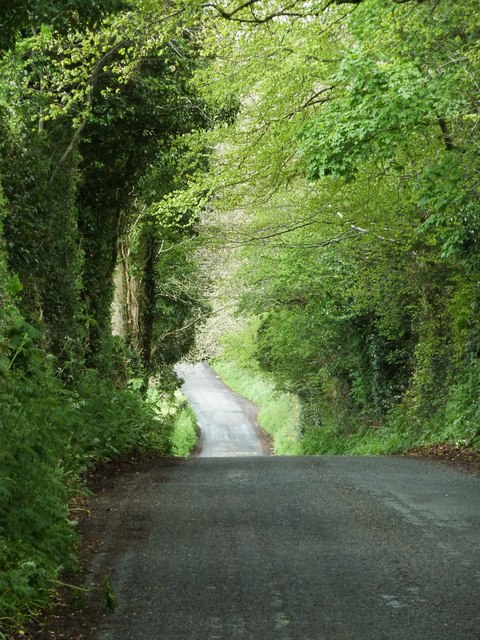
Image: © Robert Ashby Taken: 9 May 2013
The steep hill on the Abbey Road close to the junction with the Seven Mile Straight at Muckamore near Antrim.
Images are licensed for reuse under creativecommons.org/licenses/by-sa/2.0
Image Location
Latitude
54.696207
Longitude
-6.179435