Leafy track: Fishings Lane
Introduction
The photograph on this page of Leafy track: Fishings Lane by Chris as part of the Geograph project.
The Geograph project started in 2005 with the aim of publishing, organising and preserving representative images for every square kilometre of Great Britain, Ireland and the Isle of Man.

There are currently over 7.5m images from over 14,400 individuals and you can help contribute to the project by visiting https://www.geograph.org.uk
Leafy track: Fishings Lane
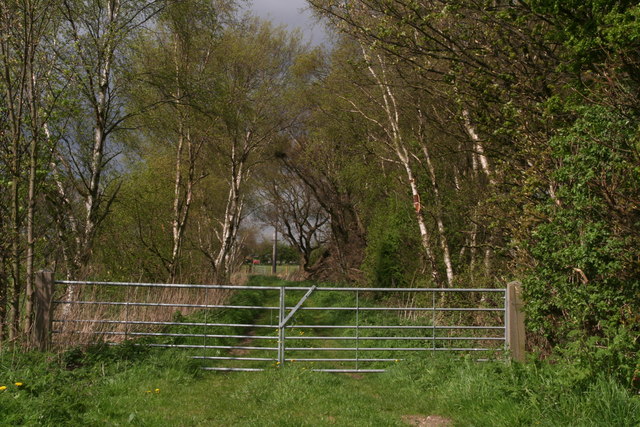
Image: © Chris Taken: 5 May 2013
A footpath runs along the track, and there was just room to squeeze past the gates. However just past these gates, going in the opposite direction towards the River Torne, I was accosted by two aggressive dogs, reminiscent of Jonathan Thacker's visit in 2011 (Image), except that I was left to fend them off by myself. In fact they were so nasty there was no chance to take a photo of them. Clearly visitors are not welcome on this path.
Images are licensed for reuse under creativecommons.org/licenses/by-sa/2.0
Image Location
Latitude
53.537164
Longitude
-0.875107