Ash Covert near Stubb's Hill
Introduction
The photograph on this page of Ash Covert near Stubb's Hill by Vieve Forward as part of the Geograph project.
The Geograph project started in 2005 with the aim of publishing, organising and preserving representative images for every square kilometre of Great Britain, Ireland and the Isle of Man.

There are currently over 7.5m images from over 14,400 individuals and you can help contribute to the project by visiting https://www.geograph.org.uk
Ash Covert near Stubb's Hill
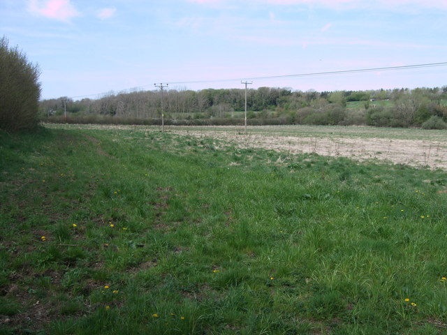
Image: © Vieve Forward Taken: 6 May 2013
Looking towards Ash Covert from where the public footpath emerges into a field near Stanton Fitzwarren. To the right of Ash Covert are some small buildings which house horses and donkeys.
Images are licensed for reuse under creativecommons.org/licenses/by-sa/2.0
Image Location
Latitude
51.61462
Longitude
-1.76353