The Offa's Dyke Path
Introduction
The photograph on this page of The Offa's Dyke Path by John Haynes as part of the Geograph project.
The Geograph project started in 2005 with the aim of publishing, organising and preserving representative images for every square kilometre of Great Britain, Ireland and the Isle of Man.

There are currently over 7.5m images from over 14,400 individuals and you can help contribute to the project by visiting https://www.geograph.org.uk
The Offa's Dyke Path
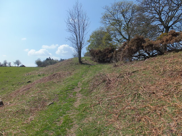
Image: © John Haynes Taken: 7 May 2013
Much of the Offa's Dyke Path is beside or at times some distance from the actual Offa's Dyke but in this section the path goes along the top. http://www.nationaltrail.co.uk/offasdyke/
Images are licensed for reuse under creativecommons.org/licenses/by-sa/2.0
Image Location
Latitude
52.917036
Longitude
-3.110164