Bankfoot Farm from Idzholm Hill
Introduction
The photograph on this page of Bankfoot Farm from Idzholm Hill by Thomas Nugent as part of the Geograph project.
The Geograph project started in 2005 with the aim of publishing, organising and preserving representative images for every square kilometre of Great Britain, Ireland and the Isle of Man.

There are currently over 7.5m images from over 14,400 individuals and you can help contribute to the project by visiting https://www.geograph.org.uk
Bankfoot Farm from Idzholm Hill
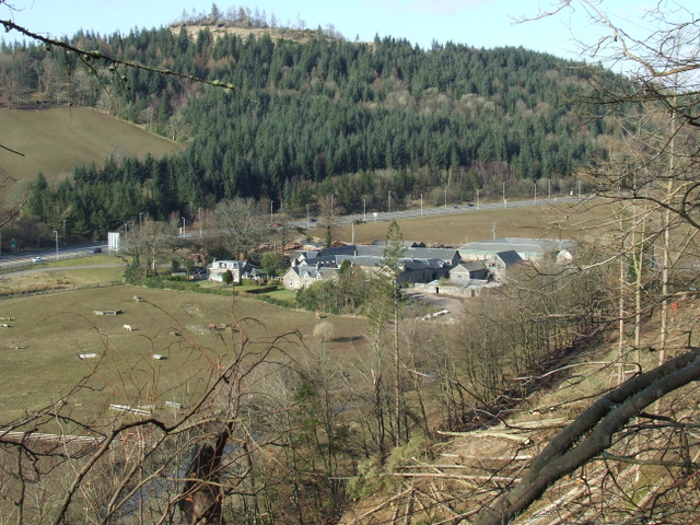
Image: © Thomas Nugent Taken: 1 Apr 2013
The farm is now visible from Bell Rock since the plantation was felled due to an outbreak of phytophthora ramorum. Bargane Hill and the A78 dual carriageway are in the background.
Images are licensed for reuse under creativecommons.org/licenses/by-sa/2.0
Image Location
Latitude
55.91965
Longitude
-4.854379