View From Eythrope Road
Introduction
The photograph on this page of View From Eythrope Road by Des Blenkinsopp as part of the Geograph project.
The Geograph project started in 2005 with the aim of publishing, organising and preserving representative images for every square kilometre of Great Britain, Ireland and the Isle of Man.

There are currently over 7.5m images from over 14,400 individuals and you can help contribute to the project by visiting https://www.geograph.org.uk
View From Eythrope Road
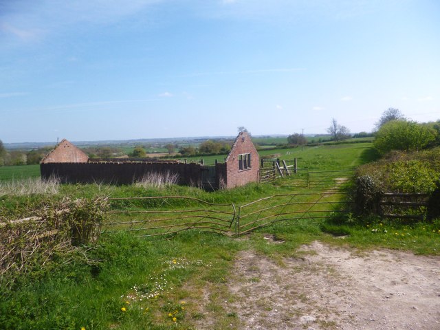
Image: © Des Blenkinsopp Taken: 6 May 2013
Stone village is on a low ridge. The 100 metre contour goes across the field beyond the ruined shed. That's enough to give this quite wide view over the Thame valley.
Images are licensed for reuse under creativecommons.org/licenses/by-sa/2.0
Image Location
Latitude
51.808231
Longitude
-0.870638