End of the Lake, Eythrope Park
Introduction
The photograph on this page of End of the Lake, Eythrope Park by Des Blenkinsopp as part of the Geograph project.
The Geograph project started in 2005 with the aim of publishing, organising and preserving representative images for every square kilometre of Great Britain, Ireland and the Isle of Man.

There are currently over 7.5m images from over 14,400 individuals and you can help contribute to the project by visiting https://www.geograph.org.uk
End of the Lake, Eythrope Park
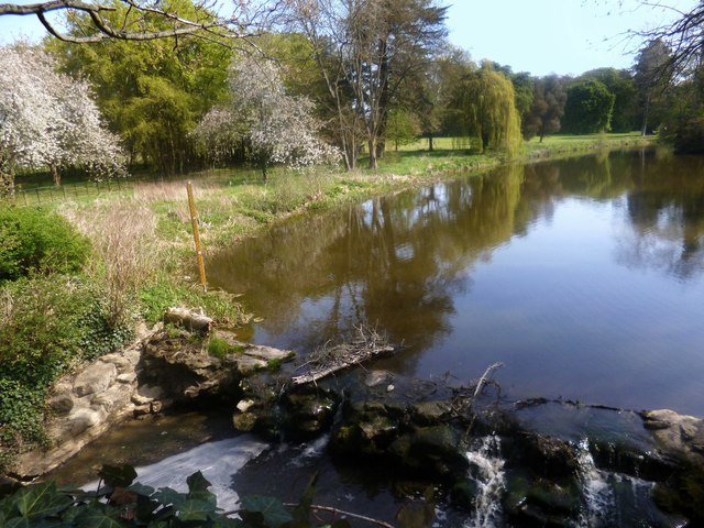
Image: © Des Blenkinsopp Taken: 6 May 2013
The River Thame has been split into two channels here, with the northern one impounded by this small dam to form an ornamental lake in Eythrope Park.
Images are licensed for reuse under creativecommons.org/licenses/by-sa/2.0
Image Location
Latitude
51.815038
Longitude
-0.886716