Former R.A.F. Blyton: aerial 2013
Introduction
The photograph on this page of Former R.A.F. Blyton: aerial 2013 by Chris as part of the Geograph project.
The Geograph project started in 2005 with the aim of publishing, organising and preserving representative images for every square kilometre of Great Britain, Ireland and the Isle of Man.

There are currently over 7.5m images from over 14,400 individuals and you can help contribute to the project by visiting https://www.geograph.org.uk
Former R.A.F. Blyton: aerial 2013
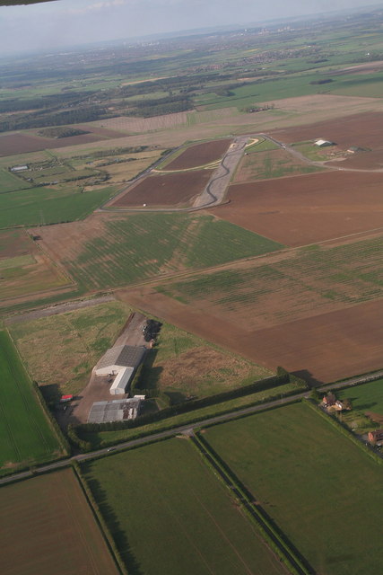
Image: © Chris Taken: 5 May 2013
The section of runway leading down to the farm buildings in the foreground has been returned to agricultural use. The top part is in use as a motor sports centre. See Image for details and history.
Images are licensed for reuse under creativecommons.org/licenses/by-sa/2.0
Image Location
Latitude
53.44782
Longitude
-0.698584