Gorse alongside the Green Chain Walk on Bostall Heath
Introduction
The photograph on this page of Gorse alongside the Green Chain Walk on Bostall Heath by Marathon as part of the Geograph project.
The Geograph project started in 2005 with the aim of publishing, organising and preserving representative images for every square kilometre of Great Britain, Ireland and the Isle of Man.

There are currently over 7.5m images from over 14,400 individuals and you can help contribute to the project by visiting https://www.geograph.org.uk
Gorse alongside the Green Chain Walk on Bostall Heath
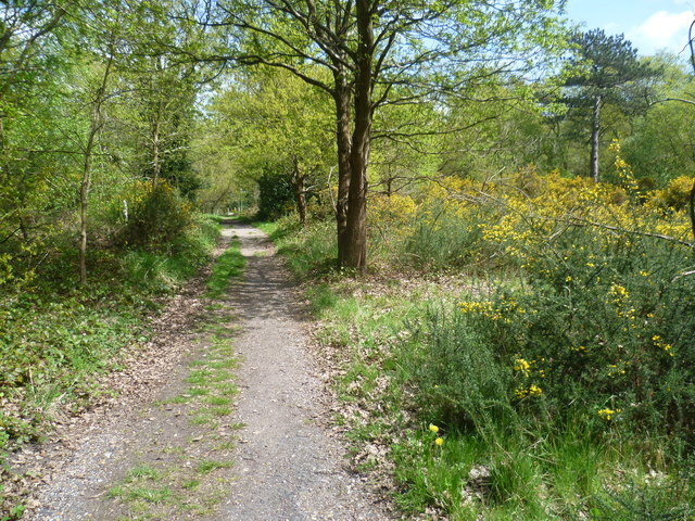
Image: © Marathon Taken: 5 May 2013
This part of Bostall Heath is largely wooded, but there can still be seen evidence of its heathland origin. The soil is stony and very poor, and gorse brightens up the scene. This is the Green Chain Walk on its way from Bostall Woods to Lesnes Abbey Woods and Lesnes Abbey. Knee Hill lies just ahead.
Images are licensed for reuse under creativecommons.org/licenses/by-sa/2.0
Image Location
Latitude
51.482032
Longitude
0.120917