Grays (or Greys) Crescent, Tir-y-berth
Introduction
The photograph on this page of Grays (or Greys) Crescent, Tir-y-berth by Jaggery as part of the Geograph project.
The Geograph project started in 2005 with the aim of publishing, organising and preserving representative images for every square kilometre of Great Britain, Ireland and the Isle of Man.

There are currently over 7.5m images from over 14,400 individuals and you can help contribute to the project by visiting https://www.geograph.org.uk
Grays (or Greys) Crescent, Tir-y-berth
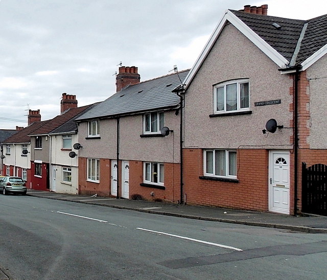
Image: © Jaggery Taken: 3 May 2013
Viewed from the Beatty Street end. The street name sign in view shows GRAYS CRESCENT but the sign at the far end of the street shows GREYS CRESCENT. To add to the confusion, several maps show GREY CRESCENT.
Images are licensed for reuse under creativecommons.org/licenses/by-sa/2.0
Image Location
Latitude
51.662847
Longitude
-3.226568