Redbridge Flyover from Redbridge Causeway
Introduction
The photograph on this page of Redbridge Flyover from Redbridge Causeway by Jim Champion as part of the Geograph project.
The Geograph project started in 2005 with the aim of publishing, organising and preserving representative images for every square kilometre of Great Britain, Ireland and the Isle of Man.

There are currently over 7.5m images from over 14,400 individuals and you can help contribute to the project by visiting https://www.geograph.org.uk
Redbridge Flyover from Redbridge Causeway
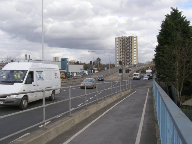
Image: © Jim Champion Taken: 21 Feb 2007
Looking towards the Redbridge Flyover and Redbridge Towers from the cycle-way across Redbridge Causeway. Beneath the flyover is a roundabout that marks the Southampton end of the M271 motorway. The blue tower of the DAF building on the left has a display on either side that alternately shows the time and air temperature. Curiously the temperature on one of the displays is always 2 degrees higher than the other.
Images are licensed for reuse under creativecommons.org/licenses/by-sa/2.0
Image Location
Latitude
50.921748
Longitude
-1.4727