Layer Breton Heath
Introduction
The photograph on this page of Layer Breton Heath by Roger Jones as part of the Geograph project.
The Geograph project started in 2005 with the aim of publishing, organising and preserving representative images for every square kilometre of Great Britain, Ireland and the Isle of Man.

There are currently over 7.5m images from over 14,400 individuals and you can help contribute to the project by visiting https://www.geograph.org.uk
Layer Breton Heath
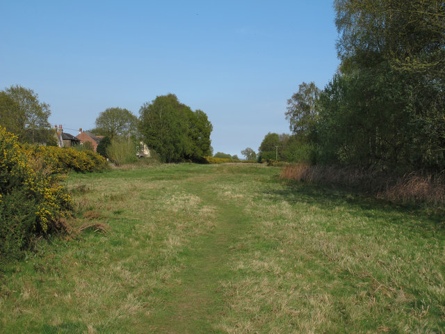
Image: © Roger Jones Taken: 6 May 2013
Layer Breton Heath is currently being actively restored to a more traditional heathland, with the thinning of birches and management of gorse: The intention is to restore a significant amount back to acid grassland, while retaining woodland and several large areas of scrub. See http://www.bretonheath.me.uk/LB-heath.htm http://www.webcitation.org/6GRJAokbg
Images are licensed for reuse under creativecommons.org/licenses/by-sa/2.0
Image Location
Latitude
51.833213
Longitude
0.821638