Westwell Close
Introduction
The photograph on this page of Westwell Close by Ian Capper as part of the Geograph project.
The Geograph project started in 2005 with the aim of publishing, organising and preserving representative images for every square kilometre of Great Britain, Ireland and the Isle of Man.

There are currently over 7.5m images from over 14,400 individuals and you can help contribute to the project by visiting https://www.geograph.org.uk
Westwell Close
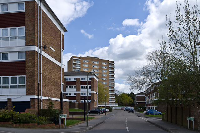
Image: © Ian Capper Taken: 29 Apr 2013
Cul de sac off Rye Crescent, giving access to some of the blocks of flats built in 1968-1970 as part of the development of the Ramsden Estate: Wittersham House on the left, Eastling and Fawkham Houses on the right and Hollingbourne Tower in the background.
Images are licensed for reuse under creativecommons.org/licenses/by-sa/2.0
Image Location
Latitude
51.375941
Longitude
0.121973