Smardale railway station (site), Cumbria
Introduction
The photograph on this page of Smardale railway station (site), Cumbria by Nigel Thompson as part of the Geograph project.
The Geograph project started in 2005 with the aim of publishing, organising and preserving representative images for every square kilometre of Great Britain, Ireland and the Isle of Man.

There are currently over 7.5m images from over 14,400 individuals and you can help contribute to the project by visiting https://www.geograph.org.uk
Smardale railway station (site), Cumbria
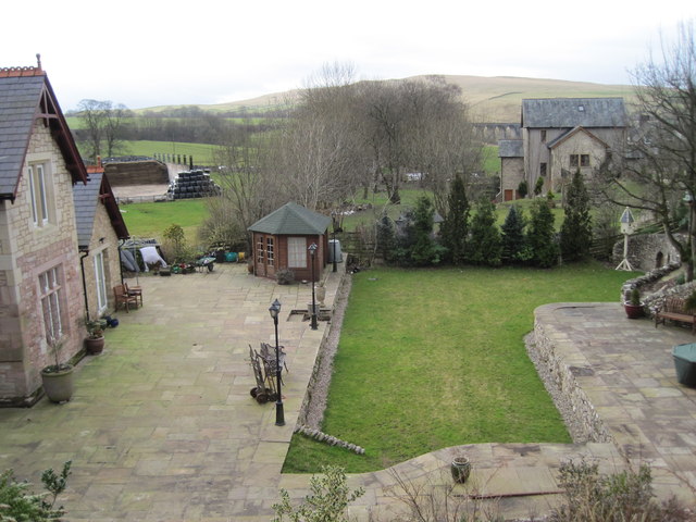
Image: © Nigel Thompson Taken: 25 Feb 2012
Opened in 1861 by the South Durham and Lancashire Union Railway (later part of the North Eastern railway) on the line from Barnard Castle to Tebay over Stainmore summit, this station closed in 1952. View west towards Ravenstonedale and Tebay.
Images are licensed for reuse under creativecommons.org/licenses/by-sa/2.0
Image Location
Latitude
54.468678
Longitude
-2.402356