Country road near Nantyderri Farm
Introduction
The photograph on this page of Country road near Nantyderri Farm by Philip Halling as part of the Geograph project.
The Geograph project started in 2005 with the aim of publishing, organising and preserving representative images for every square kilometre of Great Britain, Ireland and the Isle of Man.

There are currently over 7.5m images from over 14,400 individuals and you can help contribute to the project by visiting https://www.geograph.org.uk
Country road near Nantyderri Farm
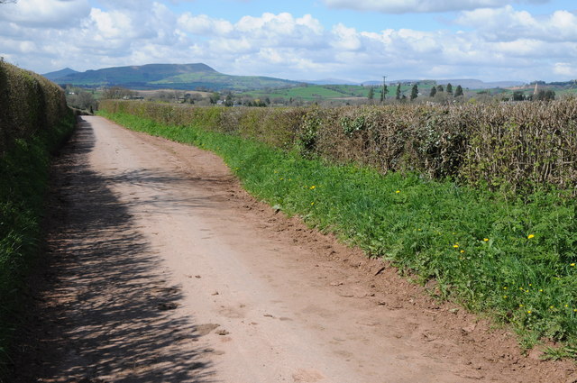
Image: © Philip Halling Taken: 27 Apr 2013
For those walking Offa's Dyke Path walking along this roar towards Llantilio Crossenny will offer a tantilising of the Black Mountains and the highest part of the entire long distance path.
Images are licensed for reuse under creativecommons.org/licenses/by-sa/2.0
Image Location
Latitude
51.82278
Longitude
-2.86585