The B3254 through Ladycross
Introduction
The photograph on this page of The B3254 through Ladycross by John Baker as part of the Geograph project.
The Geograph project started in 2005 with the aim of publishing, organising and preserving representative images for every square kilometre of Great Britain, Ireland and the Isle of Man.

There are currently over 7.5m images from over 14,400 individuals and you can help contribute to the project by visiting https://www.geograph.org.uk
The B3254 through Ladycross
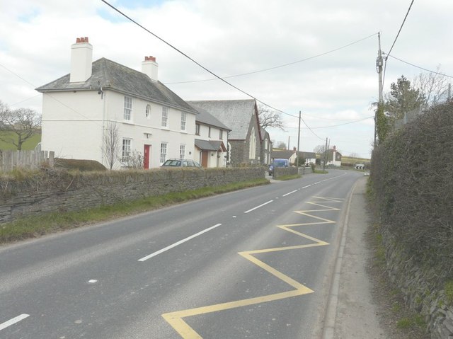
Image: © John Baker Taken: 29 Mar 2013
Beyond the white-painted house, the Methodist chapel is dated 1879.
Images are licensed for reuse under creativecommons.org/licenses/by-sa/2.0
Image Location
Latitude
50.668628
Longitude
-4.378591