Redeveloped frontage in Bridge Street, Banchory
Introduction
The photograph on this page of Redeveloped frontage in Bridge Street, Banchory by Stanley Howe as part of the Geograph project.
The Geograph project started in 2005 with the aim of publishing, organising and preserving representative images for every square kilometre of Great Britain, Ireland and the Isle of Man.

There are currently over 7.5m images from over 14,400 individuals and you can help contribute to the project by visiting https://www.geograph.org.uk
Redeveloped frontage in Bridge Street, Banchory
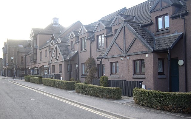
Image: © Stanley Howe Taken: 5 May 2013
The north side of the street featuring both residential flats and public buildings (eg. library and museum)
Images are licensed for reuse under creativecommons.org/licenses/by-sa/2.0
Image Location
Latitude
57.050455
Longitude
-2.503385