Wychnour, Battle Road
Introduction
The photograph on this page of Wychnour, Battle Road by Simon Carey as part of the Geograph project.
The Geograph project started in 2005 with the aim of publishing, organising and preserving representative images for every square kilometre of Great Britain, Ireland and the Isle of Man.

There are currently over 7.5m images from over 14,400 individuals and you can help contribute to the project by visiting https://www.geograph.org.uk
Wychnour, Battle Road
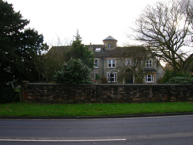
Image: © Simon Carey Taken: 21 Feb 2007
Opposite the entrance to Beauport Park Golf Course. Not marked on the 1880s map which suggests very late Victorian or early Edwardian house.
Images are licensed for reuse under creativecommons.org/licenses/by-sa/2.0
Image Location


Leaflet Map data © OpenStreetMap
Latitude
50.893148
Longitude
0.535882