Dykelands Road Seaburn Residential area.
Introduction
The photograph on this page of Dykelands Road Seaburn Residential area. by rob bishop as part of the Geograph project.
The Geograph project started in 2005 with the aim of publishing, organising and preserving representative images for every square kilometre of Great Britain, Ireland and the Isle of Man.

There are currently over 7.5m images from over 14,400 individuals and you can help contribute to the project by visiting https://www.geograph.org.uk
Dykelands Road Seaburn Residential area.
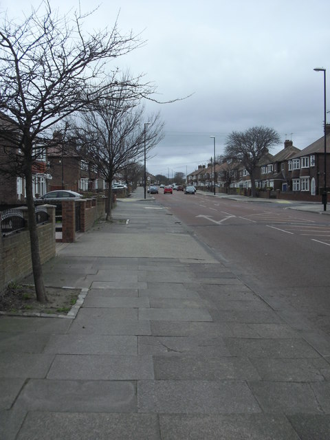
Image: © rob bishop Taken: 22 Apr 2013
Road heading towards the sea.
Images are licensed for reuse under creativecommons.org/licenses/by-sa/2.0
Image Location
Latitude
54.93238
Longitude
-1.380876