Wylam Pumping Station from the south bank of River Tyne
Introduction
The photograph on this page of Wylam Pumping Station from the south bank of River Tyne by Andrew Curtis as part of the Geograph project.
The Geograph project started in 2005 with the aim of publishing, organising and preserving representative images for every square kilometre of Great Britain, Ireland and the Isle of Man.

There are currently over 7.5m images from over 14,400 individuals and you can help contribute to the project by visiting https://www.geograph.org.uk
Wylam Pumping Station from the south bank of River Tyne
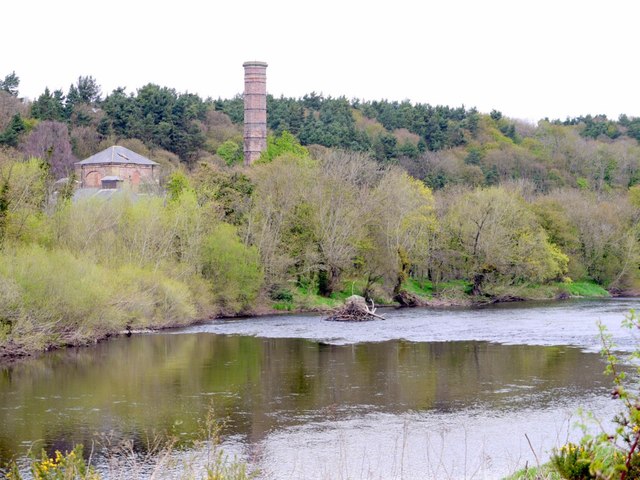
Image: © Andrew Curtis Taken: 6 May 2013
The stone pier in the river by the north bank is one of the remaining supports of the former aerial ropeway described here Image
Images are licensed for reuse under creativecommons.org/licenses/by-sa/2.0
Image Location
Latitude
54.975908
Longitude
-1.84171