Site of Roman Bloomery, Beauport Park
Introduction
The photograph on this page of Site of Roman Bloomery, Beauport Park by Simon Carey as part of the Geograph project.
The Geograph project started in 2005 with the aim of publishing, organising and preserving representative images for every square kilometre of Great Britain, Ireland and the Isle of Man.

There are currently over 7.5m images from over 14,400 individuals and you can help contribute to the project by visiting https://www.geograph.org.uk
Site of Roman Bloomery, Beauport Park
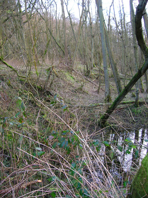
Image: © Simon Carey Taken: 21 Feb 2007
The trees and vegetation conceal the remaining heaps of slag. Beauport Park was chosen as the major site due to its proximity to the coast, there are remains of a road leading from the wood through Crowhurst Park where there was another bloomery then south to an old haven at Bulverhythe. The tiles excavated have found the marks CB which suggests heavy Roman military involvement in the iron works.
Images are licensed for reuse under creativecommons.org/licenses/by-sa/2.0
Image Location
Latitude
50.90233
Longitude
0.539653