Approach to a bridge over the Bo Burn
Introduction
The photograph on this page of Approach to a bridge over the Bo Burn by Stanley Howe as part of the Geograph project.
The Geograph project started in 2005 with the aim of publishing, organising and preserving representative images for every square kilometre of Great Britain, Ireland and the Isle of Man.

There are currently over 7.5m images from over 14,400 individuals and you can help contribute to the project by visiting https://www.geograph.org.uk
Approach to a bridge over the Bo Burn
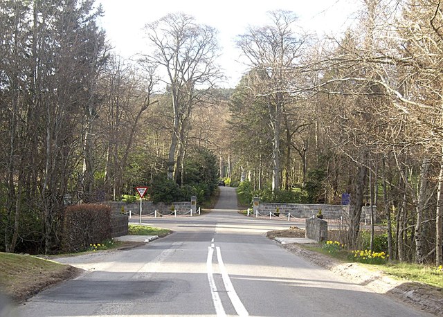
Image: © Stanley Howe Taken: 5 May 2013
On the A980 from Banchory; with an entrance to Raemoir House Hotel ahead at the junction of the A980 and the B977.
Images are licensed for reuse under creativecommons.org/licenses/by-sa/2.0
Image Location
Latitude
57.080806
Longitude
-2.506436