Upper Johnshill
Introduction
The photograph on this page of Upper Johnshill by Anne Burgess as part of the Geograph project.
The Geograph project started in 2005 with the aim of publishing, organising and preserving representative images for every square kilometre of Great Britain, Ireland and the Isle of Man.

There are currently over 7.5m images from over 14,400 individuals and you can help contribute to the project by visiting https://www.geograph.org.uk
Upper Johnshill
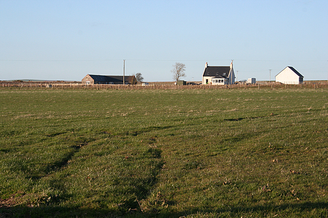
Image: © Anne Burgess Taken: 1 May 2013
The end of the road, which is shown as a public road on the maps, has a sign saying 'Road Closed Ahead'. So of course I had to go and take a look. It features a selection of potholes, few of which are sufficiently developed to appeal to the true connoisseur of potholes, but at this point it deteriorates further, and I decided that was far enough to slake my curiosity. Upper Johnshill is one of the farms accessed from the part of the road which is still open.
Images are licensed for reuse under creativecommons.org/licenses/by-sa/2.0
Image Location
Latitude
57.583505
Longitude
-2.479287