Field Boundary
Introduction
The photograph on this page of Field Boundary by Anne Burgess as part of the Geograph project.
The Geograph project started in 2005 with the aim of publishing, organising and preserving representative images for every square kilometre of Great Britain, Ireland and the Isle of Man.

There are currently over 7.5m images from over 14,400 individuals and you can help contribute to the project by visiting https://www.geograph.org.uk
Field Boundary
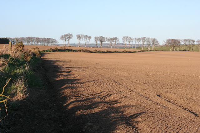
Image: © Anne Burgess Taken: 1 May 2013
It used to be possible to use the field boundaries on the 1:25,000 map to work out one's position, but not here any longer. All the fields to the right have been amalgamated into one huge field. I surmise that this boundary is in fact the boundary between two farms, otherwise it would probably have been removed too.
Images are licensed for reuse under creativecommons.org/licenses/by-sa/2.0
Image Location
Latitude
57.577897
Longitude
-2.465501