Knockholt Main Road
Introduction
The photograph on this page of Knockholt Main Road by Christopher Hilton as part of the Geograph project.
The Geograph project started in 2005 with the aim of publishing, organising and preserving representative images for every square kilometre of Great Britain, Ireland and the Isle of Man.

There are currently over 7.5m images from over 14,400 individuals and you can help contribute to the project by visiting https://www.geograph.org.uk
Knockholt Main Road
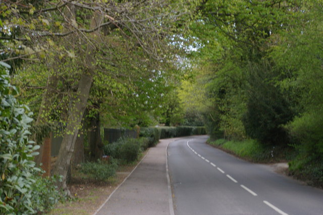
Image: © Christopher Hilton Taken: 5 May 2013
This road leads along the high point of the North Downs from Knockholt church and the old village, to Knockholt Pound, the subsidiary settlement a mile to the east which these days is considerably larger.
Images are licensed for reuse under creativecommons.org/licenses/by-sa/2.0
Image Location


Leaflet Map data © OpenStreetMap
Latitude
51.311596
Longitude
0.107021