Footpath near Bottom Leys Farm
Introduction
The photograph on this page of Footpath near Bottom Leys Farm by Jonathan Clitheroe as part of the Geograph project.
The Geograph project started in 2005 with the aim of publishing, organising and preserving representative images for every square kilometre of Great Britain, Ireland and the Isle of Man.

There are currently over 7.5m images from over 14,400 individuals and you can help contribute to the project by visiting https://www.geograph.org.uk
Footpath near Bottom Leys Farm
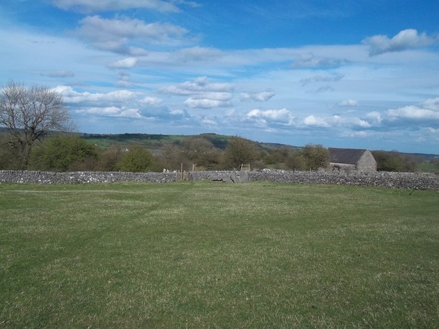
Image: © Jonathan Clitheroe Taken: 4 May 2013
A ubiquitous ruined field barn can be seen on the right of picture.
Images are licensed for reuse under creativecommons.org/licenses/by-sa/2.0
Image Location
Latitude
53.118444
Longitude
-1.608646