North Plaidy
Introduction
The photograph on this page of North Plaidy by Anne Burgess as part of the Geograph project.
The Geograph project started in 2005 with the aim of publishing, organising and preserving representative images for every square kilometre of Great Britain, Ireland and the Isle of Man.

There are currently over 7.5m images from over 14,400 individuals and you can help contribute to the project by visiting https://www.geograph.org.uk
North Plaidy
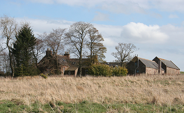
Image: © Anne Burgess Taken: 1 May 2013
Bizarrely, North Plaidy seems to be south of both Plaidy and Lower Plaidy, though the mid-Victorian six-inch map just names this Plaidy. Back Plaidy and Bogs of Plaidy are further south again.
Images are licensed for reuse under creativecommons.org/licenses/by-sa/2.0
Image Location
Latitude
57.581096
Longitude
-2.450325