Railway Bridge at Plaidy
Introduction
The photograph on this page of Railway Bridge at Plaidy by Anne Burgess as part of the Geograph project.
The Geograph project started in 2005 with the aim of publishing, organising and preserving representative images for every square kilometre of Great Britain, Ireland and the Isle of Man.

There are currently over 7.5m images from over 14,400 individuals and you can help contribute to the project by visiting https://www.geograph.org.uk
Railway Bridge at Plaidy
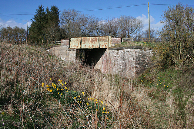
Image: © Anne Burgess Taken: 1 May 2013
Even though the map told me that Image] was the railway route, I wasn't totally convinced until I saw the bridge. There's no mistaking that!
Images are licensed for reuse under creativecommons.org/licenses/by-sa/2.0
Image Location
Latitude
57.583956
Longitude
-2.454541