Former Railway Line
Introduction
The photograph on this page of Former Railway Line by Anne Burgess as part of the Geograph project.
The Geograph project started in 2005 with the aim of publishing, organising and preserving representative images for every square kilometre of Great Britain, Ireland and the Isle of Man.

There are currently over 7.5m images from over 14,400 individuals and you can help contribute to the project by visiting https://www.geograph.org.uk
Former Railway Line
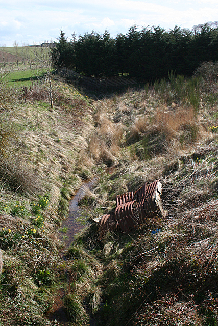
Image: © Anne Burgess Taken: 1 May 2013
This, believe it or not, is the trackbed of the Great North of Scotland Railway to Macduff. It must be, because the map says so; I would never have recognised it as such without the map to tell me. However, see Image
Images are licensed for reuse under creativecommons.org/licenses/by-sa/2.0
Image Location
Latitude
57.583236
Longitude
-2.454699