Former Track
Introduction
The photograph on this page of Former Track by Anne Burgess as part of the Geograph project.
The Geograph project started in 2005 with the aim of publishing, organising and preserving representative images for every square kilometre of Great Britain, Ireland and the Isle of Man.

There are currently over 7.5m images from over 14,400 individuals and you can help contribute to the project by visiting https://www.geograph.org.uk
Former Track
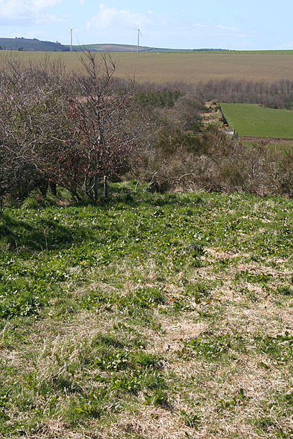
Image: © Anne Burgess Taken: 1 May 2013
This, believe it or not, is the 'track' I have just walked - or rather struggled - along. From here it was, fortunately, the complete opposite. See Image
Images are licensed for reuse under creativecommons.org/licenses/by-sa/2.0
Image Location
Latitude
57.596734
Longitude
-2.448008