Auld Dyke
Introduction
The photograph on this page of Auld Dyke by Anne Burgess as part of the Geograph project.
The Geograph project started in 2005 with the aim of publishing, organising and preserving representative images for every square kilometre of Great Britain, Ireland and the Isle of Man.

There are currently over 7.5m images from over 14,400 individuals and you can help contribute to the project by visiting https://www.geograph.org.uk
Auld Dyke
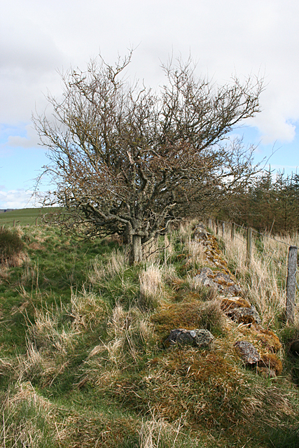
Image: © Anne Burgess Taken: 1 May 2013
The dyke, now half-smothered by grass and moss, marks one side of what used to be a track.
Images are licensed for reuse under creativecommons.org/licenses/by-sa/2.0
Image Location
Latitude
57.597521
Longitude
-2.454041