Heaton Norris and Heaton Moor from the air
Introduction
The photograph on this page of Heaton Norris and Heaton Moor from the air by Thomas Nugent as part of the Geograph project.
The Geograph project started in 2005 with the aim of publishing, organising and preserving representative images for every square kilometre of Great Britain, Ireland and the Isle of Man.

There are currently over 7.5m images from over 14,400 individuals and you can help contribute to the project by visiting https://www.geograph.org.uk
Heaton Norris and Heaton Moor from the air
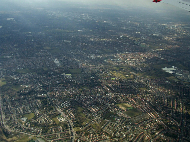
Image: © Thomas Nugent Taken: 2 Apr 2013
The cricket and rugby fields at Heaton Norris can be seen as can Heaton Moor Golf Club.
Images are licensed for reuse under creativecommons.org/licenses/by-sa/2.0
Image Location
Latitude
53.41116
Longitude
-2.189512